- themes
- typologies
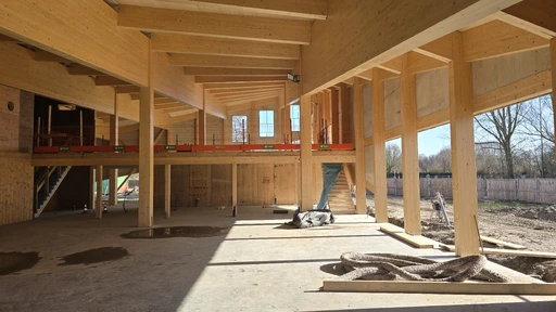
- Biobased building
more... - Readable landscapes
more... - Living landscapes
more... - Water and drought
more... - Agricultural transition
more... - Energy landscapes
more...
- Landscape
- Land art
- Exhibition
- Interior
- Regional design
- Research by design
- Architecture
- Urban design